Navigation 2023

Rare prints and maps...Since 1918! Click here to go to Darvill's home page.

Since Adirondack Retro acquired Darvill's Rare Prints in August of 2022, we have been working tirelessly on our New State-Of-The Art Website. We are excited to announce that it is now up and running and that our massive inventory of Antique Prints and Rare Maps are being transferred over to the new site daily. In addition to the nearly 500,000 prints found on www.DarvillsRarePrints.com, Adirondack Retro offers an eclectic selection of Antique and Vintage Advertisements along with their Limited Edition Giclee Prints. During this transition, customers will still be able to shop and make purchases on www.DarvillsRarePrints.com.

Sign up for our Mailing List and receive our Adirondack Retro Newsletter. When you sign up, we will email you a coupon code for you to get 15% OFF your first order at AdirondackRetro.com.


Greece & Balkan Peninsula header

Below are the available antique maps of Greece and the Balkans from Darvill's Rare Prints.

 
RARE AND ANTIQUE MAPS OF GREECE & THE BALKAN PENINSULA (page 2 of 2)
(click image for more information,
and/or to purchase the map )
Title / Publisher / Atlas or publication
Place and Date of publication
Sheet size in inches


click for details

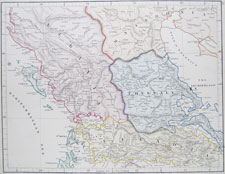
GREECE-17

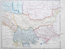
Illyricum, Dacia, Moesia, Macedonia et Thracia

Maps of the World

1841, Eton and London, EP Williams

approximately 13 1/2 x 10 3/4 inches


click for details

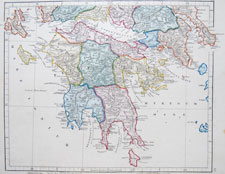
GREECE-18

Graecia Septentrionalis cum Insulis

Maps of the World

1841, Eton and London, EP Williams

approximately 13 1/2 x 10 3/4 inches


click for details

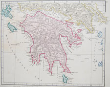
GREECE-19

Graecia Meridionalis

Maps of the World

1841, Eton and London, EP Williams

approximately 13 1/2 x 10 3/4 inches


click for details

GREECE-20

Northern Greece
With the adjacent Islands

Maps of the World

1841, Eton and London, EP Williams

approximately 13 1/2 x 10 3/4 inches


click for details

GREECE-21

Southern Greece
With the adjacent Islands

Maps of the World

1841, Eton and London, EP Williams

approximately 13 1/2 x 10 3/4 inches


click for details

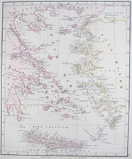
GREECE-22

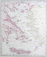
Creta et Insulae Aegaei Maris

Maps of the World

1841, Eton and London, EP Williams

approximately 13 1/2 x 10 3/4 inches


click for details

GREECE-23

Candia and the Archipelago with the adjacent coasts

Maps of the World

1841, Eton and London, EP Williams

approximately 13 1/2 x 10 3/4 inches


click for details

GREECE-24

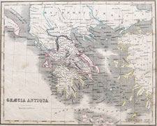
Graecia Antiqua

New General Atlas

circa 1850, London, William Home Lizars

approximately 9 1/2 x 12 inches


click for details

GREECE-25

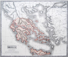
Greece

unidentified atlas

circa 1850, George Boynton

approximately 12 3/4 x 10 inches


click for details

GREECE-26

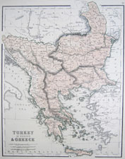
Turkey in Europe & Greece

Chambers's Atlas for the People

1855, London and Edinburgh, William & Robert Chambers

approximately 9 1/2 x 12 1/4 inches


click for details

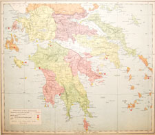
GREECE-27

Greece

McPhun's Family Reference Atlas of the World

1863, Glasgow and London, W.R. M'Phun

approximately 16 1/2 x 14 1/4 inches


click for details

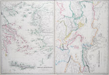
GREECE-28

The Grecian Archipelago
The Shores of the Meditteranean
[2 maps on one sheet, sharing center border]

The Imperial Atlas of Modern Geography

1860, Glasgow and Edinburgh, Blackie and Son

approximately 21 1/2 x 15 inches


click for details

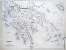
GREECE-29

Greece
Chiefly according to the English Admiralty surveys & Keipert

The Royal Illustrated Atlas of Modern Geography

1860, Edinburgh, London and Dublin, Fullarton and Co.

approximately 23 x 18 1/2 inches


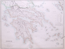
click for details

GREECE-30

Greece
Chiefly according to the English Admiralty surveys & Keipert

The Royal Illustrated Atlas of Modern Geography

1860, Edinburgh, London and Dublin, Fullarton and Co.

approximately 23 x 18 1/2 inches

Greece
click for details

GREECE-31

Greece

Letts's Popular Atlas

1881-1889; London; Letts and Son/Mason & Payne

approximately 15 x 13 1/2 inches

Greece
click for details

GREECE-32

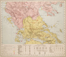
Portion of Turkey in Europe and North Greece

Letts's Popular Atlas

1881-1889; London; Letts and Son/Mason & Payne

approximately 14 1/2 x 13 1/4 inches

Greece
click for details

GREECE-33

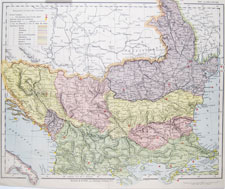
South-Eastern Europe

Letts's Popular Atlas

1881-1889; London; Letts and Son/Mason & Payne

approximately 15 1/2 x 13 1/4 inches

Greece
click for details

GREECE-34

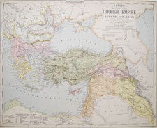
Turkish Empire in Europe and Asia; Greece, Roumania, etc.

Letts's Popular Atlas

1881-1889; London; Letts and Son/Mason & Payne

approximately 15 1/2 x 13 1/4 inches

Greece
click for details

GREECE-35

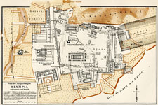
Plan der Ausgrabungen von Olympia

Meyers Konv.–Lexikon

1900; Leipzig; Bibliographisches Institut

approximately 9 1/2 x 5 3/4 inches

1 | 2 |

Antique and Vintage Maps home